


Photogrammetric canopy height models to enhance forest resource assessment
PI : Anne Jolly (ONF – Département RDI – Pôle de Nancy )
Co-applicants :
- Benoît St-Onge (Université du Québec, Montréal),
- Cédric Vega (The French National Institute of Geographic and Forest Information (IGN) ),
- Laurent Saint-André (INRA-BEF Research Unit for Forest Ecosystem Biogeochemistry)
_______________________________________________________________
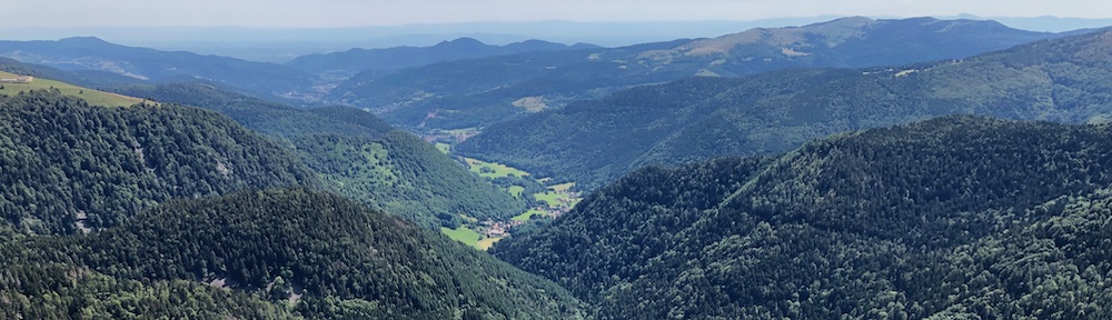
Context — The use of remote sensing to support forest inventories and forest management practices is currently undergoing major progress, particularly with the development of airborne laser scanning (ALS). In parallel, photogrammetry is advancing rapidly and becoming more efficient, thanks to the development of digital cameras, high performance processing and improved algorithms. Regular nationwide aerial image acquisitions (data collection campaigns) may offer an alternative data source to the high-precision but more costly airborne laser scanning acquisition, for reconstructing and analyzing 3D forest canopy structure and following its evolution over time.
However, the quality of photogrammetric point clouds is highly influenced by imaging geometry (sun-sensor-object configuration), image resolution and image matching strategies. Occlusions due to view angle and shadowing effects are challenging for image matching algorithms and have a direct impact on the sampling quality and XYZ point distribution.
Objective — Our main objective is to assess how photogrammetric data can be used for quantifying and mapping forest attributes over large areas, and to design an optimized and standardized workflow to extract forest parameters that will allow for 3D structural modeling of forest canopies.
Approach — The project will be conducted in three stages :i) optimization of the generation of photogrammetric point clouds over forest canopies; ii) development of forest variable models; iii) evaluation of the capacity to study forest dynamics using aerial image time series. These analyses will be carried out on several geographical sites, and will make use of existing data (ALS-based digital terrain model and aerial images from IGN).
Expected results and impacts — This project is expected to pave the way for operational mapping forest variables to support and optimize forest inventories, elaborating forest management practices, and providing knowledge about local growth dynamics of forest stands, which is crucial for understanding how forest covers are impacted by rapid global changes.