


Use of digital canopy height models to improve forest resource assessments at local and regional levels.
PI : Jean-Pierre Renaud (ONF – Pôle R&D de Nancy)
Co-applicants : L. St-André (BEF), F. Ningre (LERFoB)
Collaboration : Jean-Christophe Hervé & Cédric Véga (LIF, IGN); Marc Pierrot-Deseilligny (ENSG, IGN) ; Philippe Lejeune & Jonathan Lisein (Univ. Liège-Gembloux) ; Nicolas Barbier (IRD, UMR AMAP) ; Sébastien Conil (OPE, ANDRA) ; Anne Jolly, Jérôme Bock & Alain Munoz (ONF)
____________________________
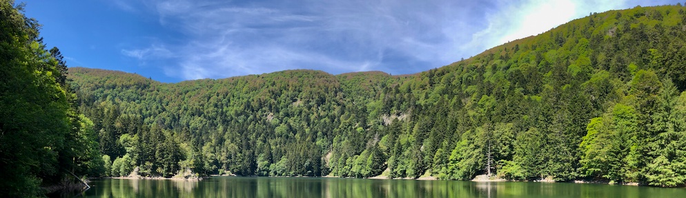
Context — Recent developments in both aerial laser scanning (ALS) and airborne imagery enable the production of accurate digital surface models (DSMs) over forested areas allowing to compute high quality canopy height models (CHM) using digital terrain models (DTM, like those obtained from ALS) (CHM = DSM – DTM). The cost-effectiveness of photogrammetry CHM make them highly attractive for multi-source forest inventory and estimation of classical dendrometric variables (e.g. basal area, height). They can even be used to detect forest changes such as height growth (e.g. site index), or windthrown trees.
So far, methodologies to extract dedrometrical varaibles from ALS clouds were based on vertical distributions of the data, neglecting the “spatial” arrangement of the information contained in CHM. Although, canopy texture or heterogeneity of stand structures can be obtained from such data. Delineation of tree crown from CHM could therfore lead to improvement in dendrometric estimations, and open new possibilities to study canopy allometry and model forest dynamics.
Objectives— In this work, two methods of LiDAR point clouds segmentation were used to obtain new variables and assess the gain in accuracy to estimate dominant height, basal area and volume, in three contrasted forest stands.
Approach — The originality of this approach is to combined segmentation methods and standards metrics based on height distribution summarized at the “plot” level. The information obtained using the segmentation variables were compared to those obtained by the “standard” method initially proposed by Næsset (1997).
Key results—
The results confirm the advantage of combining the two methods.
- For basal area and volume, R ² of 0.92 and 0.95, and mean square errors of 4.6 m²/ha (16%) and 72.4 m³/ha (17%) were obtained respectively.
- For dominant height, model error is in the range of field measurement error (estimated to be less than 1 m).
Main findings — Segmentation allows an improvement of forest attributes estimations. The robustness of these findings remains to be evaluated on a larger number of stands and varied configurations of LiDAR acquisitions.
Future Perspectives — This study opens interesting perspectives on the use of Canopy Height Models (CHM) to estimate forest attributes, including the use of CHM resulting from aerial imagery, available regularly (every 3-5 years) throughout the metropolitan territory from IGN.
_______________________________
Publications :
André, A.C., J.-P. Renaud, C. Véga, A. Munoz, J. Bock, et L. St-André. 2015. « Apport de variables issues de la segmentation d’arbres sur données LiDAR aéroportée pour l’estimation des variables dendrométriques de placettes. » Revue Française de Photogrammétrie et de Télédétection accepted.
André, Ana Cristina. 2014. « Apport de la segmentation à l’estimation d’attributs dendrométriques à partir de données de LiDAR aérien. » MASTER FAGE 2 AgroParisTech Nancy.
Présentation lors de conférences:
André, Ana Cristina, J.-P. Renaud, C. Véga, A. Munoz, J. Bock, et L. St-André. 2014. « Contributions of plot level Lidar tree segmentation metrics to improve forest attribute estimations. » présenté à FORESEE Workshop – Forestry applications of remote sensing technologies, INRA Champenoux, octobre 8.