

Spatial prediction for forest stations in northwestern France — Testing and feasibility evaluation of different methodologies for developing predictive maps for forest stations in Normandy, Nord-Pas-de-Calais, Picardy, Île-de-France and Central France.
PI : Forentin Madrolles, Chargé de mission, ECOGEODYN au sein de la cellule R&D du CRPF Normandie
Co-applicants :
- LERFOB
- ONF
- CNPF
Collaboration :
- INRA Orléans (Gis sol, RMT Sol)
- CRPF Île-de-France-Centre-Val-de-Loire
- CRPF Nord-Pas-de-Calais-Picardie
- CRPF Normandie (chef de file)
- IDF
- Chambre d’agriculture de l’Indre (RMT Sol)
__________________________________________________________________
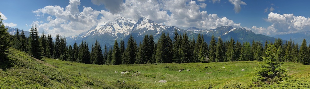
Context — One of the most important challenges facing forest managers is developing sustainable wood mobilization strategies for increasing demands of timber and wood fuels in response to current and future effects of climate change. In-depth knowledge of forest site conditions and climatic changes will make it possible to identify tree species best suited to adaptation strategies and to anticipate climate changes to secure future production (woodland yield) and forest ecosystems.
Objectives —
This project aims to develop predictive maps showing forest site conditions with a complementary climate index map for Normandy, Nord-pas-de-Calais, Picardy and Île-de-France-Centre-Val-de-Loire.
Developing predictive maps of forest site conditions will be comprised of several successive steps:
- the methodological framework will be identified based on the ECOGEODYN project,
- databases comprised of field data and mapping surveys will be collected, cross-referenced and processed,
- modeling, spatialization and reclassification of ecological factors structuring forest site distribution will be conducted from data analysis, existing forest station guides and from methodology and soil climate mapping tests,
- environmental factors maps will be combined to create predictive maps of forest sites which will be tested in the field.
The resulting maps will be compared with existing forest station guides with the aim of producing comprehensive maps of forest sites. Once a forest site is identified, site station units can be matched with corresponding climatic maps. The produced maps will be useful at various scales for implementing studies, and supporting experiments focused on climate change.